Maps & Charts
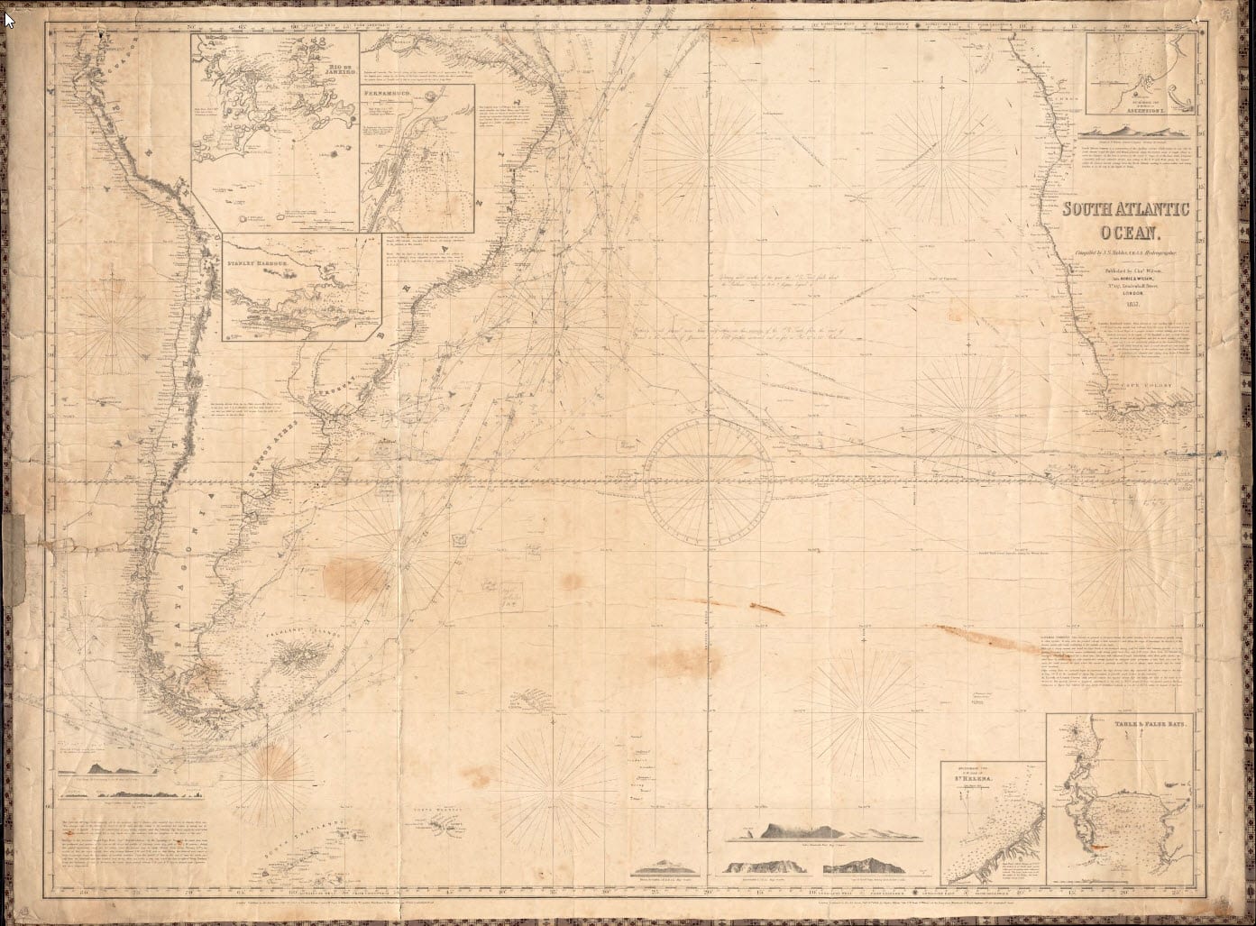
In the Atlantic, lands described include the Azores, Cape Verdean islands, Bahamas and Caribbean islands, and continental coasts, especially the North American coast and West Africa. A large number of maps and charts document Southern New England in general, specifically the area of New Bedford, Massachusetts. There are detailed street maps of the City of New Bedford, and topographical maps of the city and neighboring towns. Also represented are Narragansett Bay, Boston harbor, and Long Island sound.
Maps and Charts Finding Aid
Mapmakers include the U.S. Navy, British Admiralty, and Dutch, French, and Canadian hydrographic offices. Many were made through the U.S. Coast and Geodetic Survey, National Oceanic and Atmospheric Association (NOAA), and the U.S. Exploring Expedition (sometimes indicated at U.S. Ex. Ex.). Some prominent independent mapmakers include James Imray, E. & G.W. Blunt, James Horsburgh, J.W. Norie, R.H. Laurie, and George W. Eldridge.
This collection is organized into 12 series by geographical area which the map or chart displays, and chronologically by date. Dates indicate the date up to which a map or chart has been updated, with original publication date noted in the record description. Titles may have obsolete spellings or names of particular islands or regions depending on period in which the chart or map was created. Geographic regions in which the maps and charts are organized may overlap due to changes in oceanic boundaries.