Mapping Ahab’s “Storied Waves” – Whaling and the Geography of Moby-Dick
Herman Melville Room
Opened: January 8, 2016
Closed: July 16, 2017
Throughout Moby-Dick Melville gives clues as to how Ahab managed to actually locate one whale in all the planet’s seas.
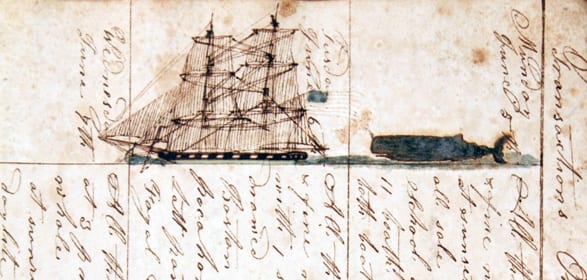
These clues had their basis in actual whaling practice. They include practical navigation, the development and use of cartography, the study of accrued whalemen’s knowledge as compiled in logbooks and journals, lists of whales seen and taken, owner’s instructions to masters and other forms of shared knowledge among whalemen. The fiction of Ahab’s search in Moby-Dick reflected a reality that actually culminated in Matthew Fontaine Maury’s Wind and Current Charts.
These charts were the first publicly defined maps showing the habitats of whales worldwide and were compiled completely from whaler’s logbooks and journals. We have several of the very logbooks read by Maury in the collection. This exhibit examined the tools, techniques and resources mentioned by Melville and demonstrated their practical application to real 19th century whalers.


